Title: How GIS Revolutionized the World of Geography
Geography, a field that mixes the physical intricacies of our world with the human stories that shape it, has been around in some form for as long as humans have roamed the Earth. Yet, it's hard to talk about the monumental shifts in how we understand and interact with geographical information without discussing one key player: Geographic Information Systems, or GIS.
Imagine a world where every map was drawn by hand, where understanding the layout of a city, the spread of a forest fire, or even the patterns of a disease outbreak depended on painstakingly slow methods of collection and analysis. This was the reality of geography for centuries. Then, GIS entered the scene, and suddenly, the field was never the same.
The Dawn of GIS
GIS burst onto the scene in the late 1960s, evolving from simple computerized maps to complex analytical tools that could layer different types of data on top of one another. At its core, GIS combines cartography, statistical analysis, and database technology. This amalgamation allows for the visualization, manipulation, and analysis of data in ways that were once deemed impossible.
Maps That Tell Stories
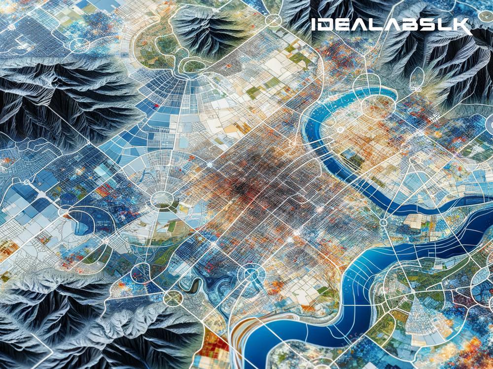
Before GIS, maps were static. They were carefully drawn pictures that depicted a moment in time. With GIS, maps became dynamic, almost living entities that could reflect changes in real time. These new maps could show not just where things were but when they were happening and even predict where they might go next. Suddenly, geographers could see patterns and relationships in the data they had never noticed before. This ability to layer information—from population density, to climate patterns, to economic data—on a single map opened up new avenues for understanding how different factors interacted with each other across space.
A Tool for Everyone
GIS democratized geography. What was once the purview of specialized cartographers became accessible to urban planners, environmental scientists, policymakers, and even everyday citizens. Need to determine the best location for a new hospital? GIS can help. Want to predict which areas are most at risk during hurricane season? GIS has you covered. The applications are nearly endless, stretching across disaster management, transportation planning, and beyond.
Transforming Education and Research
The advent of GIS has also dramatically changed the landscape of education and research within geography. Gone are the days when students were solely reliant on textbooks and lectures to understand geographical concepts. Now, they can engage directly with GIS software, analyzing real-world problems and testing out scenarios. This hands-on approach has not only made geography more engaging but has also fostered a deeper understanding of the complexities of our world.
For researchers, GIS has been nothing short of revolutionary. It has enabled the analysis of complex data sets, leading to groundbreaking discoveries in fields like climate change, public health, and urban development. Moreover, GIS has facilitated collaborations across disciplines, bridging the gap between geography and fields like sociology, computer science, and engineering.
Towards a More Sustainable Future
Perhaps one of the most exciting aspects of GIS is its role in promoting sustainability and environmental stewardship. By providing detailed data on land use, water resources, and pollution patterns, GIS empowers decision-makers to craft policies that balance human needs with environmental conservation. It's an indispensable tool in the fight against climate change, allowing for more informed decisions about everything from renewable energy siting to sustainable urban planning.
Concluding Thoughts
In a world that's more connected and complex than ever, GIS has become an essential tool in our quest to understand and navigate the geographical challenges of the 21st century. It has transformed geography from a static study of maps and charts into a dynamic field that can visualize and analyze the interconnections that shape our world. The true power of GIS lies not just in the technology itself but in the hands of those who use it to make a difference. From helping cities adapt to climate change, to improving public health responses, to conserving vital ecosystems, GIS continues to redefine what's possible in geography and beyond.
As we look to the future, it's clear that GIS will play a pivotal role in addressing the challenges of our changing world. It's a tool that has not only changed geography; it's changed how we understand our place in the world and how we can live in it more harmoniously. GIS has indeed revolutionized geography, and in doing so, it's helping to chart a course towards a more informed, equitable, and sustainable future.

