The Evolution of Digital Mapping Services
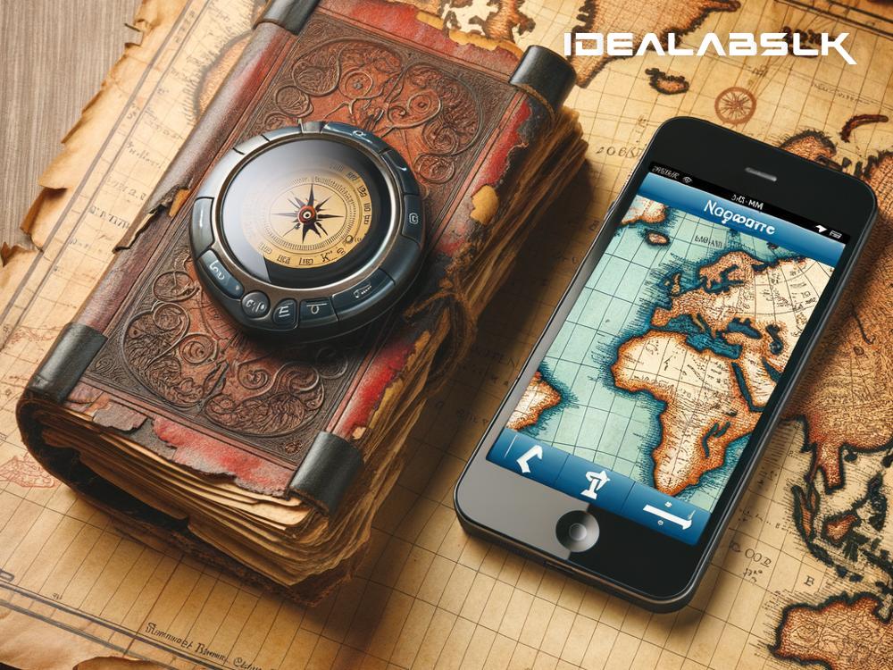
Maps have always been a fundamental tool for human exploration and understanding of the world around us. From the hand-drawn maps of ancient explorers to the digital wonders we carry in our pockets today, mapping services have come a long way. The evolution of digital mapping services is a fascinating journey that reflects our technological advances and changing needs.
The Early Days: From Paper to Pixels
Before the advent of digital technology, maps were painstakingly drawn by hand. They were valuable, often beautiful artifacts but updating them was laborious, and their accuracy could be questionable. The transition from these paper maps to digital ones began in earnest in the latter half of the 20th century. Computers offered a new way to create, store, and update geographical data more efficiently and accurately.
The first steps towards modern digital mapping were taken by governments and military organizations, most notably with the United States launching the GPS (Global Positioning System) satellites in the 1970s. Initially designed for military navigation, the technology was later made available for civilian use. This was a game-changer, as it allowed for real-time location tracking anywhere on the globe.
The Rise of Online Mapping
In the late 1990s and early 2000s, the internet became a household utility, setting the stage for the next leap in mapping services. MapQuest, launched in 1996, was among the first to offer online mapping services to the public, allowing users to find directions from one place to another without needing a physical map. However, it was the launch of Google Maps in 2005 that truly revolutionized digital mapping. Google Maps provided an easy-to-use interface, detailed satellite imagery, and the capacity to zoom in to see places at street level.
These online mapping services evolved rapidly, integrating with smartphones to provide real-time navigation, traffic updates, and a wealth of other location-based services. Suddenly, finding your way to a new restaurant, navigating through an unfamiliar city, or discovering interesting places nearby became as easy as a few taps on your screen.
The Age of Interactivity and Personalization
Digital mapping services continued to evolve beyond mere navigation tools. Developers began to incorporate various interactive and personalized features, transforming maps into platforms for discovering and engaging with the world in novel ways.
For instance, users can now add reviews, photos, and even real-time updates about places on maps, making them more informative and useful for others. Augmented Reality (AR) features in some apps allow people to overlay digital information on the real world, enhancing the physical landscape with virtual details visible through a smartphone screen.
Social media integration has further personalized digital mapping, allowing friends to share their locations or favorite spots, making exploration a shared experience. Customizable routes that consider a user’s preferences—avoiding tolls, highlighting scenic views, or suggesting bike paths—are other examples of how maps have become more tailored to individual needs.
The Future: Towards More Integrated and Intelligent Mapping Solutions
The future of digital mapping services looks even more integrated and intelligent. With advancements in artificial intelligence and machine learning, maps are becoming smarter, able to predict traffic conditions, suggest the best routes, and even help manage urban planning and disaster responses by analyzing vast amounts of data.
The integration of digital maps with autonomous vehicles is another exciting frontier. Self-driving cars rely heavily on accurate, up-to-date maps to navigate safely. As these vehicles become more common, the demand for incredibly detailed and dynamic maps will increase, pushing the boundaries of what digital mapping services can achieve.
Conclusion
The evolution of digital mapping services from simple paper maps to the complex, interactive, and intelligent systems we use today is a testament to human ingenuity and our relentless pursuit of better ways to understand and navigate our world. As technology continues to advance, we can expect digital mapping services to become even more integral to our daily lives, guiding us not just to our destinations, but towards a deeper connection with the places we live in and explore. The journey of mapping the world is far from over; in many ways, it’s just beginning.

