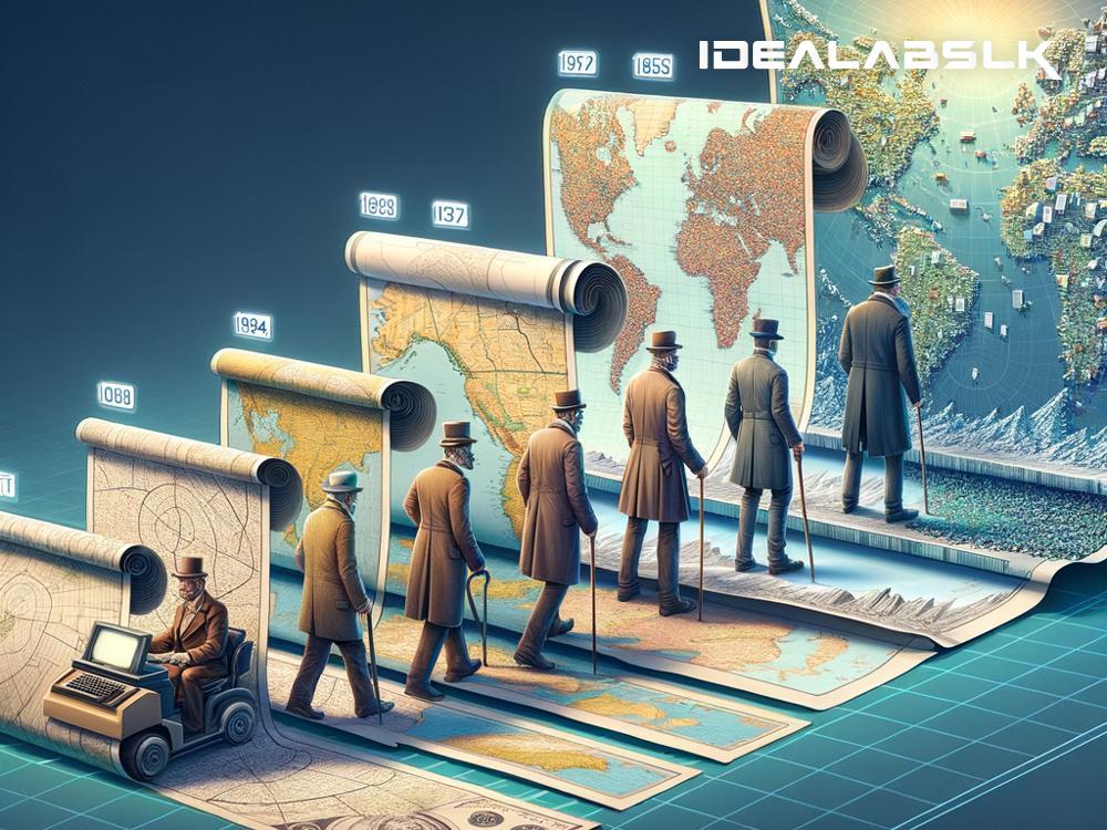
The Evolution of GIS: Mapping Our World in Digital Dimensions
Imagine going on a road trip without Google Maps or any navigation app. Sounds challenging, right? Today, it's hard to imagine life without Geographic Information Systems (GIS), the technology that powers our maps and much more. But GIS didn't start with smartphones and apps; it has a rich history that spans decades, evolving from simple maps to complex systems that help in decision-making across various fields. Let's take a journey through the evolution of GIS and understand how it's reshaping our understanding of the geographical world.
The Early Beginnings
The journey of GIS begins in the 1960s, but its roots can be traced back even further to when maps were hand-drawn. The concept of layering information on maps for analysis purposes, a foundational principle of GIS, was practiced even in these early days. However, it was Dr. Roger Tomlinson, often referred to as the "Father of GIS," who pioneered the first true GIS in the 1960s. His innovation, the Canada Geographic Information System, allowed users to store, analyze, and manipulate geographical data in ways that were previously unimaginable. This groundbreaking work laid the foundations for the GIS we know today.
From Analog to Digital
The transformation from analog to digital mapping marked a significant phase in the evolution of GIS. Throughout the 1970s and 1980s, advancements in computer technology provided the boost GIS needed. Computers became capable of storing and processing large volumes of data, making it easier and quicker to analyze geographical information. This era saw the development of key GIS software, such as ARC/INFO, which brought GIS capabilities to more industries beyond just geography, including urban planning, environmental science, and resource management.
The Expansion of GIS Applications
As technology advanced, the applications of GIS expanded exponentially. The advent of satellite imagery and global positioning systems (GPS) in the late 20th century enhanced the accuracy and types of data that could be included in GIS analyses. This period also marked the beginning of GIS becoming more accessible to the public and not just professionals. The integration of GIS with internet technology led to the development of web mapping services, such as Google Maps, that we rely on so heavily today. These tools have democratized access to geographical information, enabling anyone with an internet connection to explore the world from their device.
GIS in the Age of Big Data
Entering the 21st century, we've witnessed GIS evolving with the rise of big data and advanced analytics. The amount of geographical data available today is staggering, thanks to social media, satellites, and a plethora of IoT (Internet of Things) devices. Modern GIS tools can analyze and visualize complex data sets, uncovering patterns and insights that were once out of reach. This era of GIS is characterized by its focus on real-time data analysis, predictive modeling, and user interactivity.
The Future of GIS: Where Are We Heading?
Looking ahead, the future of GIS promises even more exciting possibilities. Emerging technologies like artificial intelligence (AI) and machine learning are beginning to intersect with GIS, offering the potential for even more sophisticated analyses and applications. Autonomous vehicles, smart cities, and environmental monitoring are just a few areas where GIS, combined with these technologies, will play a crucial role.
Moreover, the trend of making GIS more accessible and user-friendly continues. The next generation of GIS tools will likely be more intuitive, enabling even non-experts to perform complex geographical analyses. This democratization of GIS is not only about making life more convenient but also about empowering individuals and communities to make informed decisions that affect their lives and the environment.
Wrapping Up
From its humble beginnings to its current state as a technological powerhouse, the evolution of GIS is a testament to human ingenuity and our quest to understand and manage our geographical environment better. As GIS continues to evolve, it remains a critical tool in addressing some of the world's most pressing challenges, from climate change and natural disasters to urban planning and public health. The story of GIS is far from over, and its next chapters are likely to be even more transformative than what we've seen so far.

