The Journey of In-Car Navigation: From Maps to Satellites
Imagine you're driving to a place you've never been before. Not too long ago, this would have meant unfolding a big paper map, plotting your route in advance, and hoping not to miss any turns along the way. Fast forward to today, and in-car navigation systems guide us effortlessly to our destinations, rerouting us around traffic jams, and even suggesting where we might find the best cup of coffee en route. How did we get from there to here? Let's dive into the fascinating history of in-car navigation.
The Early Days: Maps and Compasses
Long before the first car hit the road, humans were using maps and compasses to find their way around. When cars became popular, drivers relied on paper maps to navigate. These maps were helpful, but not without their challenges — they were often cumbersome to use while driving and didn't update when new roads were built or old ones were closed.
The 1980s: Electronic Navigators Enter the Scene
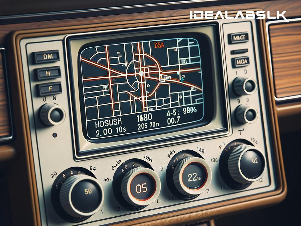
The 1980s marked the dawn of electronic navigation tools. One of the earliest systems was the "Navitron," an aftermarket device introduced in the U.S. Although rudimentary by today's standards, devices like the Navitron represented a significant leap forward. They used a combination of dead reckoning (a method involving a compass and a sensor to track distance) and a basic digital map, offering drivers a new way to navigate. However, these systems were expensive and not widely adopted.
The 1990s: GPS Revolution
The real game-changer for in-car navigation was the introduction of the Global Positioning System (GPS). Initially developed by the U.S. military for navigation and precise timing, GPS became available for civilian use in the 1980s. But it wasn't until the 1990s, as the technology became more accessible and affordable, that it started to appear in cars.
The first commercially available GPS car navigation system was the Mazda Eunos Cosmo, launched in Japan in 1990. This system represented a significant leap from previous systems, providing real-time positioning and directions. Over the next few years, other car manufacturers began introducing their own GPS navigation systems, and aftermarket GPS units also became popular.
The 2000s: The Rise of Portable and Smartphone Navigation
As the new millennium dawned, we saw another shift in in-car navigation: the rise of portable GPS units. Brands like Garmin and TomTom became household names, with their standalone devices that could be transferred from one vehicle to another. These portable units were more affordable than built-in systems while offering similar functionalities.
Simultaneously, the rapid development of smartphones added another layer to the story of in-car navigation. With the launch of the first iPhone in 2007 and the opening of the App Store in 2008, mobile apps began to offer navigation services. Soon, navigation apps like Google Maps and Waze became popular, offering real-time traffic updates, voice-guided directions, and a range of other features. These apps turned smartphones into powerful navigation tools that could compete with standalone GPS devices.
Today and Beyond: Integrated Smart Systems
Today, in-car navigation systems are more sophisticated than ever. Many car manufacturers offer integrated systems that combine GPS navigation with other functionalities like traffic information, parking assistance, and connectivity with smartphones and other digital devices. These systems offer seamless, user-friendly interfaces, making it easier for drivers to manage navigation, entertainment, and communication on the go.
Looking ahead, the future of in-car navigation appears to be closely tied to advancements in autonomous driving technology. As cars become more capable of driving themselves, navigation systems will play a crucial role in guiding these vehicles safely and efficiently, using real-time data and advanced algorithms.
In Conclusion
The history of in-car navigation is a story of incredible progress, from paper maps to satellite-linked systems that guide us with precision. It's a testament to human ingenuity and our relentless pursuit of better, smarter ways to navigate our world. As technology continues to evolve, who knows where it will take us next? One thing is for sure: the journey promises to be exciting.

