The Influence of Google Earth on Mapping
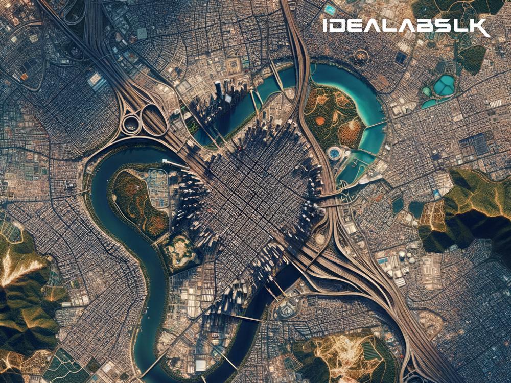
In the realm of digital exploration and mapping, Google Earth has emerged not just as a tool but as a revolutionary force that has transformed how we see our world. Before Google Earth, our interaction with maps was vastly different–limited mainly to paper maps or at best, simple digital maps that did not offer much detail or interactivity. Since its inception, Google Earth has fundamentally changed the landscape of mapping, offering an unparalleled ability to explore our planet in intricate detail. Let's dive into how Google Earth has influenced mapping and why it's such a game-changer.
Bringing the World Closer
Google Earth has made the entire planet accessible from the comfort of our homes. You can zoom in on the streets of Paris, explore the Grand Canyon, or fly over the Great Barrier Reef—all with just a few clicks. This accessibility is one of the most profound ways Google Earth has changed mapping; it has democratized geographic information, making it available and understandable to anyone with internet access. This shift has fostered a greater global awareness by allowing people to visually experience places they may never visit, promoting a deeper understanding of different landscapes, cultures, and environments.
Interactive Learning and Education
Educational institutions have found an invaluable resource in Google Earth. It serves as an interactive teaching tool, bringing geography, history, and environmental science to life. Students can virtually visit historical sites, track migratory patterns of animals, or study geographical features, making learning a more engaging and immersive experience. Google Earth has bridged the gap between theoretical knowledge and real-world application, enhancing students' comprehension and retention of information.
Enhancing Scientific Research and Environmental Awareness
Google Earth isn't just for casual exploration; it has significantly influenced scientific research and environmental initiatives. Scientists use it to monitor deforestation, glacier retreats, urban sprawl, and much more, providing crucial data for environmental protection efforts. By offering time-lapse features, Google Earth enables both scientists and the public to visualize changes in the Earth's surface over time, raising awareness about the impacts of climate change and human activity on our planet.
Disaster Response and Management
In times of crisis, Google Earth has proven to be a critical tool for disaster response and management. It enables rescue teams to assess damage, plan evacuation routes, and allocate resources effectively. For instance, during natural disasters like hurricanes or earthquakes, Google Earth's satellite imagery helps responders identify the hardest-hit areas and navigate the challenging terrain. This usage underscores its role not just in exploration and education, but in saving lives and aiding recovery efforts.
A New Era of Cartography
Traditionally, cartography (the science of map-making) was a labor-intensive process involving vast amounts of fieldwork and data collection. Google Earth, by leveraging satellite imagery and user-contributed content, has introduced a new era of digital cartography. It has made map creation more dynamic, accurate, and accessible. Amateurs and professionals alike can contribute to the platform, adding layers of information, from tourist attractions to hiking trails, enriching the map's utility for all users.
The Democratization of Geographic Information
One of the most significant impacts of Google Earth is how it democratizes geographic information. Previously, high-quality maps and geographic data were the purview of governments and large corporations. Now, anyone with internet access can explore high-resolution satellite images of almost any location on Earth. This democratization promotes transparency, fosters curiosity, and empowers individuals and communities to use geographical information in novel and impactful ways.
Conclusion
In essence, Google Earth has reshaped our relationship with maps and geographical information. It has transformed mapping from a static representation of the world into an interactive, dynamic experience that continues to inspire curiosity, enhance education, aid in disaster response, and influence scientific research. As technology advances, we can anticipate even greater innovations in digital mapping from Google Earth, further expanding our ability to explore, understand, and interact with the world around us. The influence of Google Earth on mapping is profound and far-reaching, marking a significant milestone in the way we visualize and engage with our planet.

