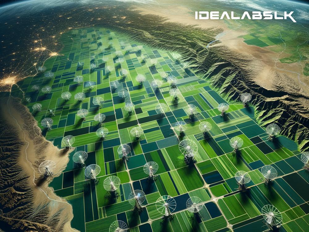
The Role of Satellite Data in Improving Agricultural Practices on Earth by 2025
In the realm of agriculture, every advance in technology brings about significant changes in how we grow and manage our crops. From the ancient plow to modern GPS-guided tractors, each leap has made farming more efficient, sustainable, and less labor-intensive. As we edge towards 2025, one of the most groundbreaking shifts in agricultural practices is being driven by something not even on this planet: satellites orbiting Earth.
But what is satellite data, and how could it possibly help farmers back on the ground? Let's dive into this fascinating topic in simple terms.
What is Satellite Data?
Imagine cameras and sensors so powerful, they can capture images and information from space, giving us a bird's-eye view of Earth's surface. That's essentially what satellites do. They orbit around the planet, collecting data ranging from weather patterns, land cover, moisture levels in soil, growth stages of crops, and even pests and diseases affecting plants.
How Does Satellite Data Benefit Agriculture?
1. Enhanced Crop Monitoring
With satellite data, farmers can get an up-to-date picture of their farmlands without having to walk through miles of fields. This isn't just about seeing which areas are green and lush. Advanced sensors can detect stress in plants, sometimes before it's visible to the human eye. By knowing exactly which parts of a field need attention, farmers can better manage their resources, like water, fertilizers, and pesticides.
2. Improved Precision Farming
Precision farming is all about being precise with the use of resources to maximize productivity and minimize waste. Satellites can provide detailed information on soil moisture and fertility, allowing for precise irrigation and fertilization. Instead of treating an entire field the same, farmers can tailor their approach to different areas, leading to better yields and less environmental impact.
3. Predictive Analytics for Crop Planning
Using historical data collected by satellites, along with real-time information, farmers can make informed decisions about what crops to plant where and when. This predictive capability helps in planning for the best possible outcomes, taking into account factors like expected rainfall, temperature trends, and even potential pest invasions.
4. Disaster Management and Mitigation
Natural disasters like floods, droughts, and hurricanes can wreak havoc on agriculture. Satellites help monitor these phenomena and predict their paths, giving farmers time to prepare and minimize damage. Additionally, in the aftermath of disasters, satellite images can be crucial for assessing damage and planning recovery efforts efficiently.
The Forecast for 2025
By 2025, it's expected that the integration of satellite data into agriculture will be more widespread, thanks to decreasing costs of technology and increased accessibility. Here are a few predictions for how this might unfold:
-
Widespread Adoption: As satellite data becomes more user-friendly and integrated with smartphones and other devices commonly used by farmers, its adoption will skyrocket. Tailored apps and services will make it easier for farmers of all sizes to benefit from this data, leading to improvements in productivity and sustainability across the board.
-
Global Food Security: Enhanced efficiency and better planning enabled by satellite data could significantly contribute to global food security. By optimizing resources and reducing waste, countries can produce more food, more reliably, even in the face of climate change.
-
Environmental Sustainability: With precise data guiding the way, the agricultural sector can reduce its environmental footprint. This means less water waste, reduced use of harmful pesticides and fertilizers, and an overall healthier planet.
Final Thoughts
The role of satellite data in transforming agriculture by 2025 cannot be overstated. As we leverage this technology to its fullest potential, we are not just making farming easier but also working towards a future where food security and environmental sustainability go hand in hand. While challenges remain, the sky is literally the limit when it comes to the benefits that satellite data can bring to agriculture on Earth.

